 PRODIGE
boundaries
Harvested
Provided by
Type of resources
Available actions
Topics
Keywords
Provided by
Years
Formats
Representation types
Update frequencies
status
Scale
Resolution
-
French Ministry of Agriculture and Food / DRASSM - Shom<br /> The product "Limits related to fishery uses" contains the limits related to fishery uses as defined in the French or European legislations. Those limits are managed by the Directorate for Sea Fisheries and Aquaculture (DPMA) of the Ministry of Agriculture and Food. <br /> Those limits are divided into three categories : <br /> - the inner limit of the coastal waters (6 nautical miles) ; <br /> - the 3-nautical-mile limit ; <br /> - the limit of fisheries for overseas territories (100 nautical miles).<br /><br /> The product "Limits related to fishery uses" is to use in addition to the digital product “Maritime Limits and Boundaries” of Shom (French: “Délimitations maritimes”) which represents the limits of the French maritime spaces of sovereignty or jurisdiction through the World.<br /> The product “Maritime Limits and Boundaries” (French: “Délimitations maritimes”) can be viewed and downloaded on the French national portal of maritime limits (https://maritimelimits.gouv.fr).
-
French Ministry of Culture / DRASSM – Shom The product "Limit of preventive archeology licence fee" contains the limits for the preventive archeology licence fee (1 nautical mile) as defined in the French Heritage Code. This limit is managed by the Department of Underwater Archeological Research (DRASSM) of the Ministry of Culture. This limit, defined by the Heritage Code at 1 nautical mile from the low-water line, permits to delineate the areas where the licence fee for preventive archeology at sea is applied. In Mainland France in the Gironde estuary, the limit for the preventive archeology licence fee is stopped by the crosswise limit of the sea as defined by the decree of 26 August 1857. In French Guiana, the limit for the preventive archeology licence fee is stopped in Maroni and Oyapock rivers by the crosswise limits of the sea respectively defined the order of 30 January 1991 and the order No 863 of 26 May 1986, until meeting the land boundary which delineates the rivers with the neighbouring States. The product "Limit of preventive archeology licence fee" is to use in addition to the digital product “Maritime Limits and Boundaries” of Shom (French: “Délimitations maritimes”) which represents the limits of the French maritime spaces of sovereignty or jurisdiction through the World. The product “Maritime Limits and Boundaries” (French: “Délimitations maritimes”) can be viewed on data.shom.fr (Maritime boundaries Category) and downloaded on the French national portal of maritime limits (https://maritimelimits.gouv.fr).
-

Information layer containing the SAR Zones (Search and Rescue). This layer contains a description of the French search and rescue (SAR) areas and the location of the associated Maritime Rescue Coordination Center (MRCC). it covers the areas of responsibility of France. The layer was produced by the Shom pursuant to the Circular Circular of the International Maritime Organization (IMO No. SAR.8 / Circ.4 of 1 December 2012).
-
Limite des circonscriptions électorales de Guyane en 1986. Cette donnée est basée sur la limite administrative de la BD TOPO 2011 de l'IGN.
-

Tonnages collectés de déchets verts par maître d'ouvrage en 2014 en Bretagne.
-
Délimitation des 5 sites d'étude du projet "Paroles et chemins de l'Agriculture Littorale" (Parchemins) : - Baie de Douarnenez - Baie de la Forêt - Baie de Lannion - Goëlo - Presqu'île de Lézardrieux - Presqu'île de Rhuys
-

Limite des circonscriptions électorales de la Collectivité Territoriale de Guyane en 2015. Cette donnée est basée sur la limite administrative de la BD TOPO 2011 de l'IGN.
-
Un Plan Climat Air Energie Territorial (PCAET) est un projet territorial de développement durable dont la finalité est la lutte contre le changement climatique et l'adaptation du territoire. Le résultat visé est un territoire resilient, robuste, adapté, au bénéfice de sa population et de ses activités. Les PCAET sont aujourd'hui obligatoires pour les collectivités de plus de 20 000 habitants. D'autres collectivités non obligées peuvent s'engager à élaborer un PCAET.
-

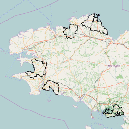
Schéma régional éolien de Bretagne approuvé le 28/09/2012 par le Préfet de la région Bretagne L’article 90 de la loi Grenelle 2 a instauré l’obligation d’élaborer dans chaque région un schéma régional éolien (SRE) définissant les parties du territoire favorables au développement de l’énergie éolienne. Ce schéma régional éolien constitue un volet du schéma régional du climat, de l’air et de l’énergie (SRCAE). L'élaboration du SRE résulte d'un travail de recensement et de cartographie des différents enjeux environnementaux et techniques permettant de définir les zones favorables pour le développement de l'éolien. Vu les caractéristiques du territoire régional et afin de tenir compte de la diversité des situations rencontrées en Bretagne, il est considéré que l’ensemble de la région a vocation à constituer une zone favorable pour le développement de l’éolien à l’exception des zones relevant de contraintes rédhibitoires majeures à l’échelle régionale.
-
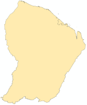
Limites administratives de Guyane au 500ème.